
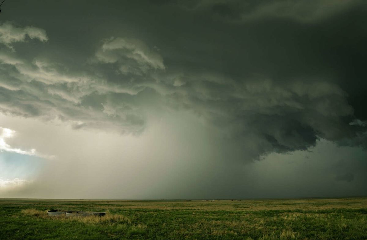
A stark meteorological divide is taking shape across the state of Texas this week as a shifting atmospheric pattern prepares to deliver long-awaited relief to northern territories while southern and central communities remain trapped under oppressive conditions. According to forecasters, an approaching cold front is slated to bring welcome precipitation and significantly cooler temperatures to the northern tier of the state, although the impending relief will bypass many southern and central areas entirely.
The incoming weather system is primarily targeting the combined Texas and Oklahoma Panhandles, where meteorologists at the National Weather Service anticipate a noticeable shift in prevailing atmospheric conditions. The agency's projections indicate that an advancing frontal boundary will trigger widespread storm activity across the northern plains, generating much-needed rain chances following an extended stretch of intense late-summer heat.
Before this cooler air mass can fully establish itself, however, residents situated throughout the Panhandle region will have to navigate several days of uncomfortably high temperatures. The National Weather Service expects the week to commence with readings that are well above typical seasonal norms, pushing daytime highs into the range of 90 to 100 degrees across the regional landscape.
This prolonged heatwave is expected to gradually lose its grip as the week progresses and the frontal boundary pushes steadily southward. As the cooler air slowly filters into the region, it will begin to suppress the lingering warmth, systematically driving afternoon temperatures downward across the vast expanse of the combined Panhandle territories.
By the latter half of the week, the National Weather Service forecasts that the cold front will successfully lower maximum daily readings to around 80 degrees across the majority of the Panhandles. This steady drop in temperatures is expected to provide a substantial change in air mass, offering a noticeably more comfortable environment compared to the beginning of the week.
The most widespread temperature relief will arrive just in time for the weekend. Forecasters predict that high temperatures on both Friday and Saturday will be broadly situated in the low to mid-80s across the area. For communities in the Panhandle, these milder conditions will serve as a much-anticipated reprieve after enduring months of daily, well-above-normal temperatures.
In addition to shifting the thermal environment, the incoming cold front will serve as a key trigger for atmospheric instability and widespread precipitation. Meteorologists indicate that there is a medium to high probability of showers and thunderstorms developing both along the leading edge of the front and within the post-frontal air mass trailing behind it.
The National Weather Service noted that atmospheric conditions are favorable for rain to develop across portions of the combined Panhandles each day throughout the week. Forecasters clarified that the published percentages reflect regional probabilities for both the Texas and Oklahoma Panhandles, meaning that while the broader region has favorable daily rain chances, individual locations will not necessarily experience precipitation on every consecutive day.
While the Panhandle prepares for an influx of cooler air and storm activity, the weather story is dramatically different further south. Across Central Texas, forecasters warn that intense and dangerous heat is poised to maintain full control of the regional forecast, showing virtually no signs of abating as the days move forward.
Meteorological data indicates that near-record heat will persist across Central Texas and the San Antonio metropolitan area well into next week. Daily high temperatures in these regions are projected to consistently hover in the upper 90s, with several locations easily crossing over into triple-digit territory.
The intense ambient heat will be further compounded by elevated moisture levels, which will drive the heat index—the metric reflecting how hot conditions actually feel to the human body—to hazardous levels. Forecasters caution that heat index values could reach as high as approximately 110 degrees, creating challenging conditions for residents across the central portion of the state.
Precipitation prospects across southern Texas will also remain quite limited compared to the northern plains. Over the coastal plains, the chances for measurable rainfall are forecast to stay very low during the early parts of the week, leaving the area under dry and stifling conditions.
However, the National Weather Service noted that there could be a slight improvement in rain coverage for some southern and central sections as the week draws to a close. Forecasters indicated that rain chances could begin to expand over more areas across Central Texas by Thursday and Friday, potentially providing brief interruptions to the persistent dry pattern.
As the week unfolds, the contrasting weather scenarios across Texas highlight a notable regional divide, with northern residents preparing for autumn-like storms and cooling trends while central and southern communities continue to navigate relentless, late-season summer heat.









(0)