
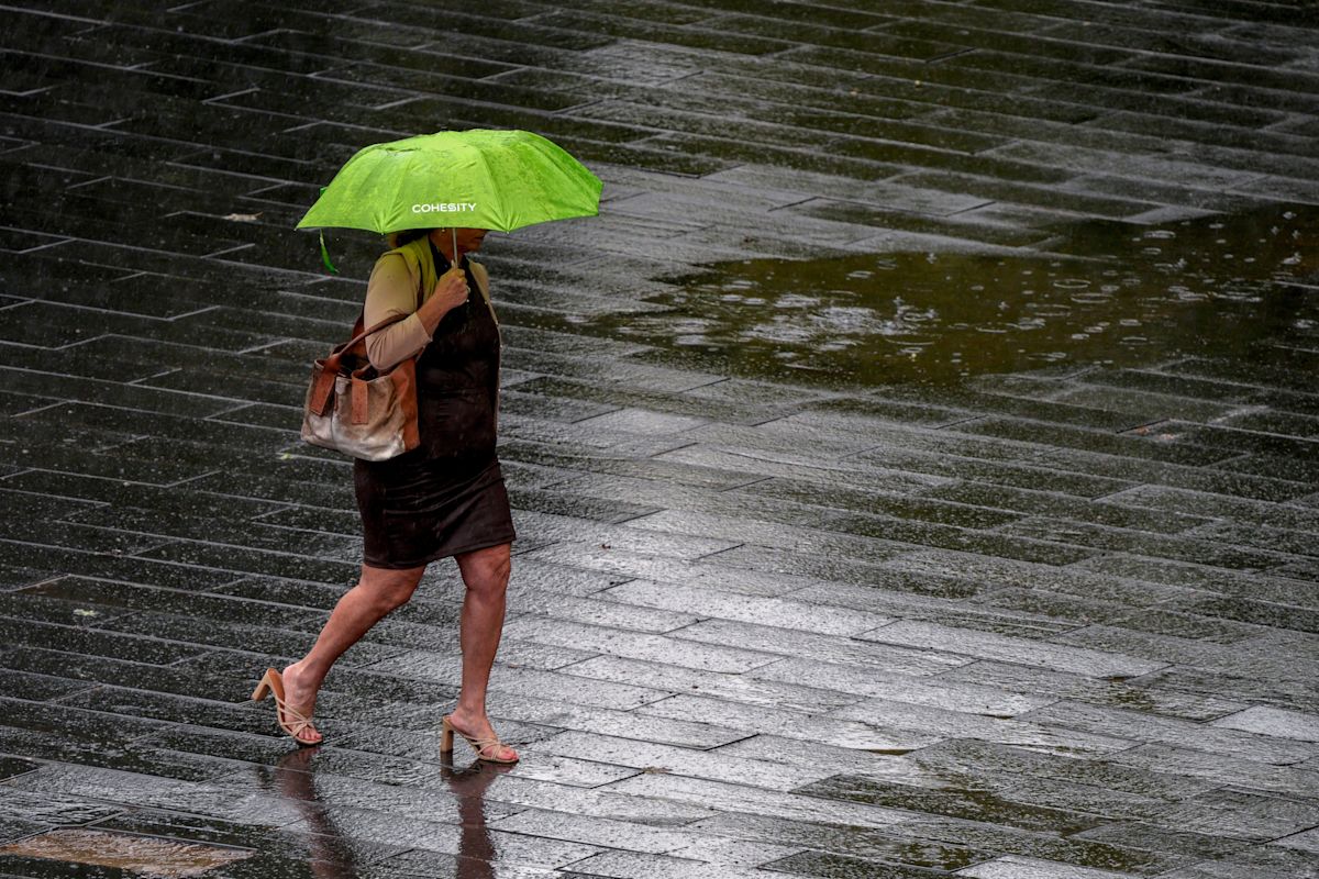
A seasonal shift is finally on the horizon for Oklahoma as meteorologists project the arrival of a cold front and much-needed precipitation during the first official week of autumn. The incoming weather pattern is expected to provide substantial relief for residents across the state following an unrelenting stretch of summer days with temperatures consistently climbing past 100 degrees.
Despite the promising shift in atmospheric conditions, forecasters are advising residents to manage expectations. Given the natural variability in long-range weather modeling, meteorologists emphasize that local conditions can shift before the cooler air mass fully settles into the region.
According to projections from the National Oceanic and Atmospheric Administration, Oklahoma City will likely see daytime highs moderate into the low to mid-80s. While these readings represent a noticeable departure from the intense summer heat, they remain slightly elevated compared to traditional seasonal baselines.
Data from the National Weather Service indicates that the historical average temperature for the period spanning Sept. 21 through Sept. 27 sits at 70.3 degrees. Even though mid-80s daytime temperatures remain technically above that climate benchmark, the projected 20-degree drop marks a dramatic and welcome change after months of oppressive heat and persistent dryness.
Alongside the drop in temperature, precipitation chances are expected to increase across the majority of the state. Current forecasts outline a 30% to 40% probability of rainfall for most regions in Oklahoma, with only the northeast corner showing a lesser likelihood of receiving moisture.
On a broader scale across the United States, heavier rainfall centers are focused around southeastern Arizona and along the South Atlantic coastal areas. However, regions extending outward through the Plains states and reaching up toward North Dakota are also positioned to capture notable precipitation as active weather systems develop.
For Oklahoma communities grappling with dry conditions, any incoming moisture is a critical development. Forecasters at the National Weather Service office in Norman highlighted the positive shift in the regional pattern, noting that conditions are finally trending in a favorable direction for delivering rainfall to drought-impacted areas.
Current meteorological models estimate that total rainfall across the state will average just under an inch over the course of the week. This widespread precipitation is largely linked to the cold front as it advances across the Central Plains and drives temperature changes leading into the weekend.
At present, forecasters identify Sunday as the most probable window for the frontal boundary to make its entrance into Oklahoma. Nevertheless, forecasters caution that local weather dynamics remain unpredictable, pointing to a 20% to 75% chance that the system could stall or arrive later than anticipated, which could leave maximum daytime temperatures lingering just below the 90-degree mark.
The shift in weather coincides closely with the astronomical change of seasons. The autumnal equinox is scheduled to take place officially on Tuesday, Sept. 22, 2026, at 8:04 p.m. Central Time, marking the precise astronomical beginning of fall.
During the equinox, the sun crosses the celestial equator, creating a brief period where day and night are of roughly equal duration. Following this astronomical milestone, daylight hours will steadily diminish across the Northern Hemisphere as sunrise occurs later and sunset arrives earlier each day until the winter solstice.
Looking beyond the immediate week, extended seasonal forecasts suggest that autumn may continue to deliver damp and mild weather to the region. Long-range projections from the Farmers' Almanac indicate that Oklahoma and northern Texas could see slightly cooler-than-normal temperatures overall, alongside cumulative seasonal rainfall reaching up to 4 inches above typical averages.
The Almanac notes that while warmer-than-average weather is slated to encompass much of the country's interior from the Northern Plains through the Heartland and into the Deep South, distinct pockets—including parts of the eastern United States and the Pacific Coast—are favored to experience cooler atmospheric patterns.
Not all parts of Oklahoma will share identical conditions, however. While the core of the state is anticipated to encounter a cooler and wetter fall, the Oklahoma Panhandle is projected to maintain warmer and drier conditions through the third quarter of the year.
Overall, Oklahoma stands out as one of the select regions anticipated to receive elevated moisture levels this autumn. While large expanses of the nation are expected to navigate lingering dry heat, the state joins regions such as the Pacific Northwest, Florida, and far northern New England in anticipating a cooler, rainier start to the new season.








(0)